
Thank you for supporting this site ❤️
Make a donation
Make a donation
Gear up for your next adventure:
As an Amazon Associate, this site earns from qualifying purchases at no extra cost to you.
Ciarlotti topographic map
Click on the map to display elevation.
Thank you for supporting this site ❤️
Make a donation
Make a donation
Gear up for your next adventure:
As an Amazon Associate, this site earns from qualifying purchases at no extra cost to you.
About this map
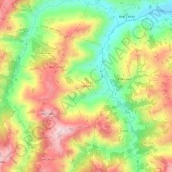
Name: Ciarlotti topographic map, elevation, terrain.
Location: Ciarlotti, Castelli, Teramo, Abruzzo, 64041, Italy (42.49541 13.74316 42.53541 13.78316)
Average elevation: 436 m
Minimum elevation: 262 m
Maximum elevation: 616 m
Thank you for supporting this site ❤️
Make a donation
Make a donation
Gear up for your next adventure:
As an Amazon Associate, this site earns from qualifying purchases at no extra cost to you.