
Spink County topographic map
Interactive map
Click on the map to display elevation.
About this map
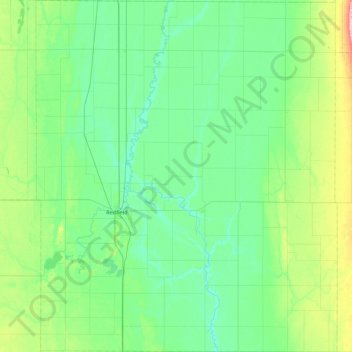
Name: Spink County topographic map, elevation, terrain.
Location: Spink County, South Dakota, United States of America (44.63175 -98.71776 45.24373 -97.97684)
Average elevation: 405 m
Minimum elevation: 377 m
Maximum elevation: 529 m