
车站街道 topographic map
Interactive map
Click on the map to display elevation.
About this map
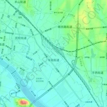
Name: 车站街道 topographic map, elevation, terrain.
Location: 车站街道, 浉河区, 信阳市, Henan, China (32.09569 114.06898 32.13613 114.10509)
Average elevation: 87 m
Minimum elevation: 68 m
Maximum elevation: 150 m
Other topographic maps
Click on a map to view its topography, its elevation and its terrain.