河南省安阳师范学院家属院-家 topographic map
Interactive map
Click on the map to display elevation.
About this map
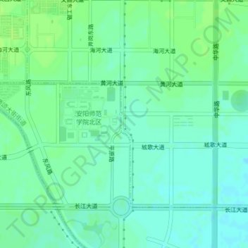
Name: 河南省安阳师范学院家属院-家 topographic map, elevation, terrain.
Average elevation: 69 m
Minimum elevation: 63 m
Maximum elevation: 73 m

Click on the map to display elevation.
Name: 河南省安阳师范学院家属院-家 topographic map, elevation, terrain.
Average elevation: 69 m
Minimum elevation: 63 m
Maximum elevation: 73 m