
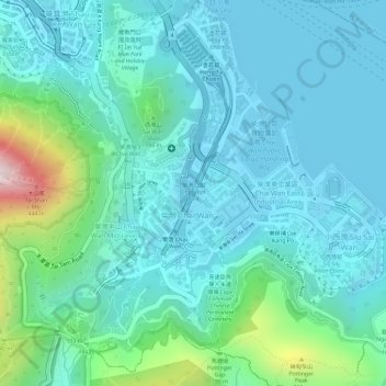
Chai Wan Park topographic map
Interactive map
Click on the map to display elevation.
About this map
Name: Chai Wan Park topographic map, elevation, terrain.
Average elevation: 96 m
Minimum elevation: -3 m
Maximum elevation: 488 m
Other topographic maps
Click on a map to view its topography, its elevation and its terrain.
Sai Wan
China > Hong Kong > Hong Kong Island
Sai Wan, Central and Western District, Hong Kong Island, Hong Kong, China
Average elevation: 81 m
Mount Davis
China > Hong Kong > Hong Kong Island
Mount Davis, Hong Kong Island, Hong Kong, China
Average elevation: 71 m
Mount Parker
China > Hong Kong > Hong Kong Island
Mount Parker, Hong Kong Island, Hong Kong, China
Average elevation: 214 m
Hong Kong Island
China > Hong Kong > Hong Kong Island
Hong Kong Island, Eastern District, Hong Kong, China
Average elevation: 84 m