
Thank you for supporting this site ❤️
Make a donation
Make a donation
Gear up for your next adventure:
As an Amazon Associate, this site earns from qualifying purchases at no extra cost to you.
Chhaygaon topographic map
Click on the map to display elevation.
Thank you for supporting this site ❤️
Make a donation
Make a donation
Gear up for your next adventure:
As an Amazon Associate, this site earns from qualifying purchases at no extra cost to you.
About this map
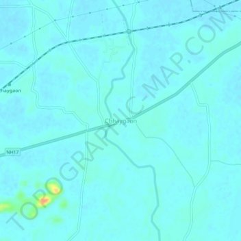
Name: Chhaygaon topographic map, elevation, terrain.
Location: Chhaygaon, Kamrup District, Assam, 781124, India (26.02910 91.37090 26.06910 91.41090)
Average elevation: 50 m
Minimum elevation: 45 m
Maximum elevation: 87 m
Thank you for supporting this site ❤️
Make a donation
Make a donation
Gear up for your next adventure:
As an Amazon Associate, this site earns from qualifying purchases at no extra cost to you.