
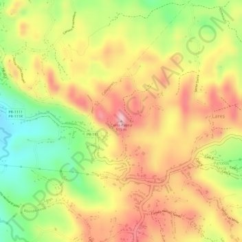
Cerro Palma topographic map
Interactive map
Click on the map to display elevation.
About this map
Name: Cerro Palma topographic map, elevation, terrain.
Location: Cerro Palma, Lares, Puerto Rico, 00669, United States (18.29379 -66.85439 18.29389 -66.85429)
Average elevation: 410 m
Minimum elevation: 301 m
Maximum elevation: 488 m