
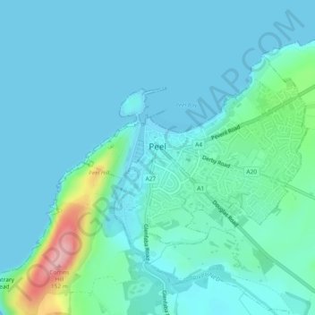
Peel topographic map
Interactive map
Click on the map to display elevation.
About this map
Name: Peel topographic map, elevation, terrain.
Location: Peel, Glenfaba, Isle of Man (54.21308 -4.70670 54.23082 -4.67359)
Average elevation: 22 m
Minimum elevation: 0 m
Maximum elevation: 149 m