
Lenzkirch topographic map
Interactive map
Click on the map to display elevation.
About this map
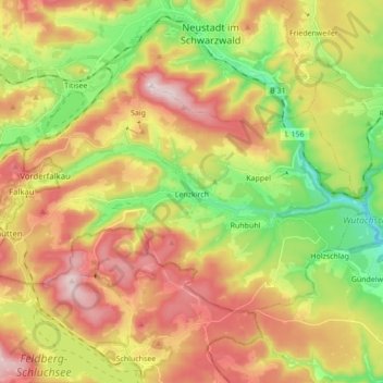
Name: Lenzkirch topographic map, elevation, terrain.
Average elevation: 945 m
Minimum elevation: 719 m
Maximum elevation: 1,192 m
Saig is a health resort on the southern flank of the Hochfirst, and at about 1000m elevation is the highest community in the municipality. It has about 1200 beds available for tourists.