
Make a donation
Gear up for your next adventure:
As an Amazon Associate, this site earns from qualifying purchases at no extra cost to you.
Benrath topographic map
Click on the map to display elevation.
Make a donation
Gear up for your next adventure:
As an Amazon Associate, this site earns from qualifying purchases at no extra cost to you.
About this map
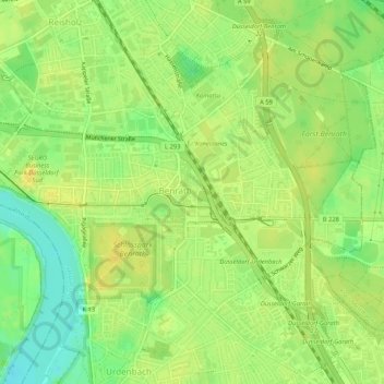
Name: Benrath topographic map, elevation, terrain.
Average elevation: 44 m
Minimum elevation: 29 m
Maximum elevation: 53 m
Make a donation
Gear up for your next adventure:
As an Amazon Associate, this site earns from qualifying purchases at no extra cost to you.
Other topographic maps
Click on a map to view its topography, its elevation and its terrain.
Düsseldorf
Deutschland > Nordrhein-Westfalen > Düsseldorf
Am 8. März 1921 rückten gegen Mittag französische und belgische Truppen in Düsseldorf und anderen Ruhrgebietsstädten ein und besetzten sie. Hintergrund war die Weigerung der Reichsregierung, Reparationszahlungen aus dem Versailler Vertrag in Höhe von 269 Milliarden Goldmark anzuerkennen. Zwei Jahre…
Average elevation: 63 m