
Pena topographic map
Interactive map
Click on the map to display elevation.
About this map
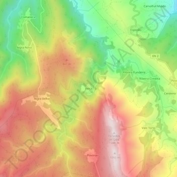
Name: Pena topographic map, elevation, terrain.
Location: Pena, Góis, Coimbra, Pinhal Interior Norte, Centro, Portugal (40.09095 -8.15512 40.13095 -8.11512)
Average elevation: 677 m
Minimum elevation: 287 m
Maximum elevation: 1,031 m