
Thank you for supporting this site ❤️
Make a donation
Make a donation
Gear up for your next adventure:
As an Amazon Associate, this site earns from qualifying purchases at no extra cost to you.
Madarpur topographic map
Click on the map to display elevation.
Thank you for supporting this site ❤️
Make a donation
Make a donation
Gear up for your next adventure:
As an Amazon Associate, this site earns from qualifying purchases at no extra cost to you.
About this map
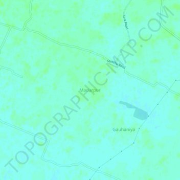
Name: Madarpur topographic map, elevation, terrain.
Location: Madarpur, Tanda, Ambedkar Nagar, Uttar Pradesh, 224145, India (26.55420 82.50430 26.59420 82.54430)
Average elevation: 91 m
Minimum elevation: 88 m
Maximum elevation: 95 m
Thank you for supporting this site ❤️
Make a donation
Make a donation
Gear up for your next adventure:
As an Amazon Associate, this site earns from qualifying purchases at no extra cost to you.