
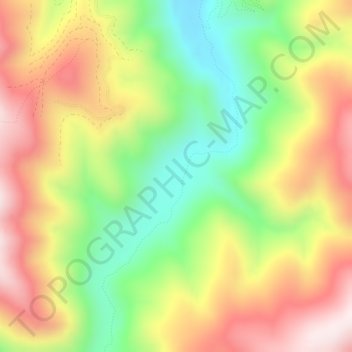
Sheeps Head Flat topographic map
Interactive map
Click on the map to display elevation.
About this map
Name: Sheeps Head Flat topographic map, elevation, terrain.
Location: Sheeps Head Flat, Ravalli County, Montana, United States (45.76917 -114.07830 45.78917 -114.05830)
Average elevation: 1,789 m
Minimum elevation: 1,518 m
Maximum elevation: 2,069 m