
شاطئ الرتيبة topographic map
Interactive map
Click on the map to display elevation.
About this map
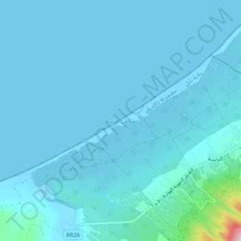
Name: شاطئ الرتيبة topographic map, elevation, terrain.
Location: شاطئ الرتيبة, واد العبيد, معتمدية تاكلسة, Nabeul, Tunisia (36.87667 10.69706 36.91271 10.76900)
Average elevation: 17 m
Minimum elevation: -1 m
Maximum elevation: 315 m