
Le Sueur County topographic map
Interactive map
Click on the map to display elevation.
About this map
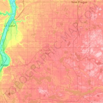
Name: Le Sueur County topographic map, elevation, terrain.
Location: Le Sueur County, Minnesota, United States (44.19714 -94.02650 44.54361 -93.52425)
Average elevation: 310 m
Minimum elevation: 218 m
Maximum elevation: 363 m
Other topographic maps
Click on a map to view its topography, its elevation and its terrain.