
Stakhólstjörn topographic map
Interactive map
Click on the map to display elevation.
About this map
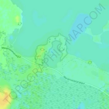
Name: Stakhólstjörn topographic map, elevation, terrain.
Average elevation: 280 m
Minimum elevation: 274 m
Maximum elevation: 295 m
Other topographic maps
Click on a map to view its topography, its elevation and its terrain.
Skútustaðagígar
Skútustaðagígar, Skútustaðir, Þingeyjarsveit, Northeastern Region, Iceland
Average elevation: 280 m
Mývatn
Iceland > Þingeyjarsveit > Reykjahlíð
Mývatn, Reykjahlíð, Þingeyjarsveit, Northeastern Region, Iceland
Average elevation: 285 m