Geolocate

Hughson topographic map

Click on the map to display elevation.

About this map
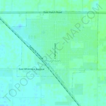
Name: Hughson topographic map, elevation, terrain.

Location: Hughson, Stanislaus County, California, 95326, United States (37.58818 -120.87924 37.60963 -120.85148)

Average elevation: 38 m

Minimum elevation: 34 m

Maximum elevation: 44 m

Other topographic maps

Click on a map to view its topography, its elevation and its terrain.

Aurora

United States > California > Stanislaus County > Modesto

Average elevation: 29 m

Eugene

United States > California > Stanislaus County

Average elevation: 62 m

Denair

United States > California > Stanislaus County

Average elevation: 40 m

Gear up for your next adventure:

🫗Collapsible Water Bottles - Space‑saving hydration
💡Hiking Headlamps - Hands‑free lights for night hikes
🎒Hiking Backpacks - Durable backpacks for day hikes and multi‑day treks
🗺️Topographic Maps - Detailed maps for hiking, cycling and planning routes
⛷️Mountain Sports Accessories - Gear for high intensity outdoor sports

As an Amazon Associate, this site earns from qualifying purchases at no extra cost to you.