
La Montañita topographic map
Interactive map
Click on the map to display elevation.
About this map
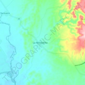
Name: La Montañita topographic map, elevation, terrain.
Location: La Montañita, Caquetá, Colombia (1.44171 -75.47564 1.52171 -75.39564)
Average elevation: 265 m
Minimum elevation: 218 m
Maximum elevation: 437 m