Geolocate

Clapham topographic map

Click on the map to display elevation.

About this map
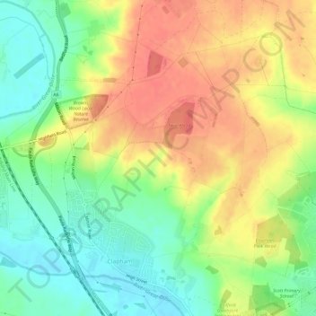
Name: Clapham topographic map, elevation, terrain.

Location: Clapham, Bedford, England, United Kingdom (52.15650 -0.51512 52.19239 -0.46670)

Average elevation: 60 m

Minimum elevation: 30 m

Maximum elevation: 90 m

Gear up for your next adventure:

🥾Hiking Boots - Top hiking boots for Irish trails and rugged terrain
⛺Emergency Bivvy Bags - Life-saving heat-reflective shelter for emergencies
📡Satellite Messengers - Emergency communication for remote areas without signal
🧺Waterproof Picnic Blankets - Dry seating for breaks on damp grass
🗺️Irish Road Atlases - Comprehensive physical maps for road trips and navigation

As an Amazon Associate, this site earns from qualifying purchases at no extra cost to you.