
Rosbach topographic map
Interactive map
Click on the map to display elevation.
About this map
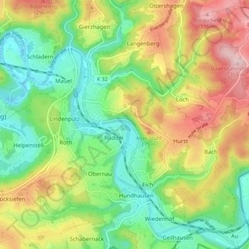
Name: Rosbach topographic map, elevation, terrain.
Average elevation: 207 m
Minimum elevation: 111 m
Maximum elevation: 349 m
Other topographic maps
Click on a map to view its topography, its elevation and its terrain.
Geilhausen
Duitsland > Noordrijn-Westfalen > Rhein-Sieg-Kreis > Windeck
Geilhausen, Wiedenhof, Windeck, Rhein-Sieg-Kreis, Noordrijn-Westfalen, 51570, Duitsland
Average elevation: 211 m