
Cotopaxi topographic map
Interactive map
Click on the map to display elevation.
About this map
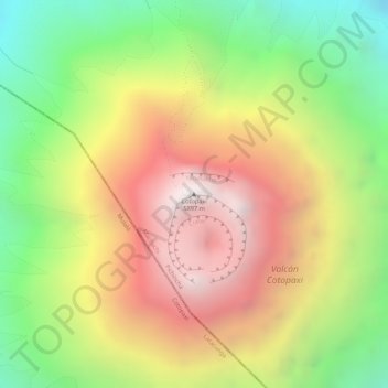
Name: Cotopaxi topographic map, elevation, terrain.
Location: Cotopaxi, Machachi, Mejía, Pichincha, Equador (-0.68065 -78.43781 -0.68055 -78.43771)
Average elevation: 5,316 m
Minimum elevation: 4,725 m
Maximum elevation: 5,869 m
Other topographic maps
Click on a map to view its topography, its elevation and its terrain.
Volcán Cotopaxi
Equador > Pichincha > Machachi
Volcán Cotopaxi, Ruta al cotopaxi, Machachi, Mejía, Pichincha, Equador
Average elevation: 5,021 m