
Montecatini Val di Cecina topographic map
Interactive map
Click on the map to display elevation.
About this map
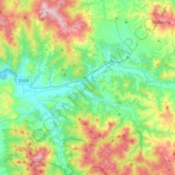
Name: Montecatini Val di Cecina topographic map, elevation, terrain.
Location: Montecatini Val di Cecina, Pisa, Tuscany, 56040, Italy (43.23287 10.64072 43.42431 10.80698)
Average elevation: 222 m
Minimum elevation: 22 m
Maximum elevation: 641 m
Other topographic maps
Click on a map to view its topography, its elevation and its terrain.