
Sur-le-Mont topographic map
Interactive map
Click on the map to display elevation.
About this map
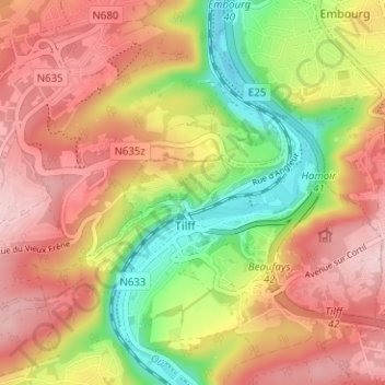
Name: Sur-le-Mont topographic map, elevation, terrain.
Location: Sur-le-Mont, Tilff, Esneux, Liège, Wallonie, 4130, Belgique (50.55303 5.56561 50.59303 5.60561)
Average elevation: 180 m
Minimum elevation: 63 m
Maximum elevation: 274 m
Other topographic maps
Click on a map to view its topography, its elevation and its terrain.