
邓庄镇 topographic map
Interactive map
Click on the map to display elevation.
About this map
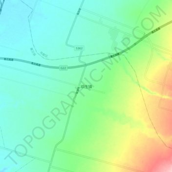
Name: 邓庄镇 topographic map, elevation, terrain.
Location: 邓庄镇, 襄汾县, 临汾市, 山西省, 中国 (35.92446 111.48246 36.00446 111.56246)
Average elevation: 493 m
Minimum elevation: 446 m
Maximum elevation: 616 m
Other topographic maps
Click on a map to view its topography, its elevation and its terrain.