
野川 topographic map
Interactive map
Click on the map to display elevation.
About this map
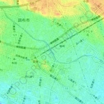
Name: 野川 topographic map, elevation, terrain.
Location: 野川, Tokyo, Chōfu, 201-0001, Japon (35.65135 139.56368 35.65191 139.56408)
Average elevation: 36 m
Minimum elevation: 23 m
Maximum elevation: 55 m
Other topographic maps
Click on a map to view its topography, its elevation and its terrain.