
Ängelholm topographic map
Interactive map
Click on the map to display elevation.
About this map
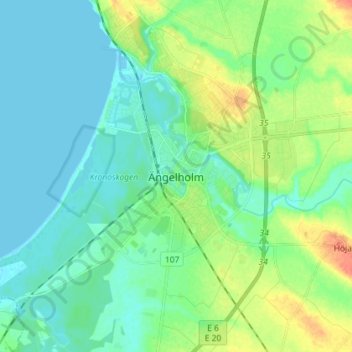
Name: Ängelholm topographic map, elevation, terrain.
Location: Ängelholm, Skåne County, Region Götaland, 262 32, Sweden (56.20292 12.82194 56.28292 12.90194)
Average elevation: 12 m
Minimum elevation: -1 m
Maximum elevation: 43 m