Geolocate

Williams County topographic map

Interactive map

Click on the map to display elevation.

About this map

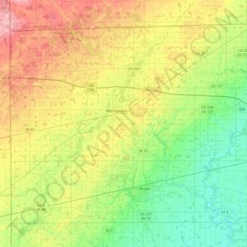
Name: Williams County topographic map, elevation, terrain.

Location: Williams County, Ohio, United States of America (41.42604 -84.80598 41.70584 -84.34166)

Average elevation: 259 m

Minimum elevation: 207 m

Maximum elevation: 342 m

Other topographic maps

Click on a map to view its topography, its elevation and its terrain.

Highland County

United States of America > Ohio

Highland County, Ohio, United States of America

Average elevation: 305 m

Defiance County

United States of America > Ohio

Defiance County, Ohio, United States of America

Average elevation: 225 m

Mansfield

United States of America > Ohio > Mansfield

Mansfield, Richland County, Ohio, United States of America

Average elevation: 387 m

Beechgrove

United States of America > Ohio > Beechgrove

Beechgrove, Darke County, Ohio, United States of America

Average elevation: 330 m

Toledo

United States of America > Ohio > Toledo

Toledo, Lucas County, Ohio, United States of America

Average elevation: 185 m

Medina County

United States of America > Ohio

Medina County, Ohio, United States of America

Average elevation: 306 m