
Subteniente López topographic map
Interactive map
Click on the map to display elevation.
About this map
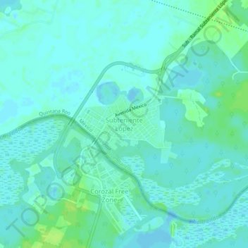
Name: Subteniente López topographic map, elevation, terrain.
Location: Subteniente López, Othón P. Blanco, Quintana Roo, México (18.47449 -88.41143 18.51449 -88.37143)
Average elevation: 4 m
Minimum elevation: -3 m
Maximum elevation: 13 m