
Make a donation
Gear up for your next adventure:
As an Amazon Associate, this site earns from qualifying purchases at no extra cost to you.
Gerressen topographic map
Click on the map to display elevation.
Make a donation
Gear up for your next adventure:
As an Amazon Associate, this site earns from qualifying purchases at no extra cost to you.
Gerressen
Das Dorf liegt zwischen Siegtal und Ottersbachtal auf einer Anhöhe des Nutscheid oberhalb von Herchen. Gerressen grenzt an die Landesstraße 312, die Herchen mit der Herchener Höhe verbindet. Weitere Weiler in der Nachbarschaft sind Neuenhof mit Engelsbruch und Sommerhof mit dem Johanneshof.
Make a donation
Gear up for your next adventure:
As an Amazon Associate, this site earns from qualifying purchases at no extra cost to you.
About this map
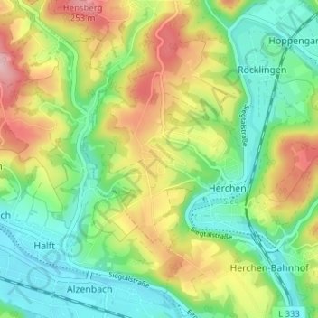
Name: Gerressen topographic map, elevation, terrain.
Average elevation: 155 m
Minimum elevation: 84 m
Maximum elevation: 270 m
Make a donation
Gear up for your next adventure:
As an Amazon Associate, this site earns from qualifying purchases at no extra cost to you.