
Thank you for supporting this site ❤️
Make a donation
Make a donation
Gear up for your next adventure:
As an Amazon Associate, this site earns from qualifying purchases at no extra cost to you.
Geshenke topographic map
Click on the map to display elevation.
Thank you for supporting this site ❤️
Make a donation
Make a donation
Gear up for your next adventure:
As an Amazon Associate, this site earns from qualifying purchases at no extra cost to you.
About this map
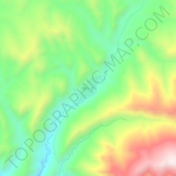
Name: Geshenke topographic map, elevation, terrain.
Location: Geshenke, Tongde County, Hainan, Qinghai, China (34.71336 100.88740 34.75336 100.92740)
Average elevation: 3,566 m
Minimum elevation: 3,288 m
Maximum elevation: 3,994 m
Thank you for supporting this site ❤️
Make a donation
Make a donation
Gear up for your next adventure:
As an Amazon Associate, this site earns from qualifying purchases at no extra cost to you.