
Coyote Natural Bridge topographic map
Interactive map
Click on the map to display elevation.
About this map
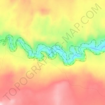
Name: Coyote Natural Bridge topographic map, elevation, terrain.
Location: Coyote Natural Bridge, Kane County, Utah, United States (37.41599 -111.02769 37.41609 -111.02759)
Average elevation: 1,361 m
Minimum elevation: 1,198 m
Maximum elevation: 1,475 m