
Oyster Island topographic map
Interactive map
Click on the map to display elevation.
About this map
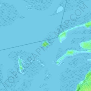
Name: Oyster Island topographic map, elevation, terrain.
Location: Oyster Island, Monaco, Nelson, New Zealand (-41.30322 173.19935 -41.30036 173.20285)
Average elevation: 0 m
Minimum elevation: -2 m
Maximum elevation: 10 m