
罗溪镇 topographic map
Interactive map
Click on the map to display elevation.
About this map
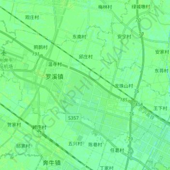
Name: 罗溪镇 topographic map, elevation, terrain.
Location: 罗溪镇, 新北区, 常州市, 江苏省, 213000, 中国 (31.86080 119.77628 31.93596 119.90114)
Average elevation: 7 m
Minimum elevation: 3 m
Maximum elevation: 10 m
Other topographic maps
Click on a map to view its topography, its elevation and its terrain.