
Dangan topographic map
Interactive map
Click on the map to display elevation.
About this map
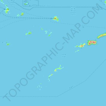
Name: Dangan topographic map, elevation, terrain.
Location: Dangan, Xiangzhou District, Zhuhai City, Guangdong, PRC (21.80233 113.86036 22.11928 114.32639)
Average elevation: 2 m
Minimum elevation: -1 m
Maximum elevation: 439 m