
Manantial topographic map
Interactive map
Click on the map to display elevation.
About this map
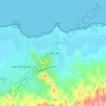
Name: Manantial topographic map, elevation, terrain.
Location: Manantial, Las Terrenas, Samaná, 34000, D.R. (19.29609 -69.55031 19.33609 -69.51031)
Average elevation: 27 m
Minimum elevation: -1 m
Maximum elevation: 152 m