
Jinan City topographic map
Interactive map
Click on the map to display elevation.
About this map
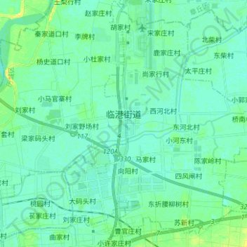
Name: Jinan City topographic map, elevation, terrain.
Location: 临港街道, Licheng District, Jinan City, Shandong, 250100, China (36.76888 117.17275 36.86850 117.27680)
Average elevation: 24 m
Minimum elevation: 19 m
Maximum elevation: 36 m
Other topographic maps
Click on a map to view its topography, its elevation and its terrain.
Jinan City
China > Shandong > Jinan City
遥墙街道, Licheng District, Jinan City, Shandong, 250100, China
Average elevation: 24 m
The Border
China > Shandong > Jinan City > The Border
The Border, Jinan City, Changqing District, Shandong, 250300, China
Average elevation: 230 m