
Thank you for supporting this site ❤️
Make a donation
Make a donation
Gear up for your next adventure:
As an Amazon Associate, this site earns from qualifying purchases at no extra cost to you.
Esperanza topographic map
Click on the map to display elevation.
Thank you for supporting this site ❤️
Make a donation
Make a donation
Gear up for your next adventure:
As an Amazon Associate, this site earns from qualifying purchases at no extra cost to you.
About this map
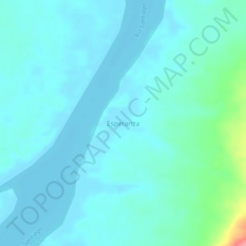
Name: Esperanza topographic map, elevation, terrain.
Location: Esperanza, Río Santiago, Condorcanqui, Amazonas, Perú (-3.77467 -77.73117 -3.73467 -77.69117)
Average elevation: 194 m
Minimum elevation: 181 m
Maximum elevation: 273 m
Thank you for supporting this site ❤️
Make a donation
Make a donation
Gear up for your next adventure:
As an Amazon Associate, this site earns from qualifying purchases at no extra cost to you.