
Gamalero topographic map
Interactive map
Click on the map to display elevation.
About this map
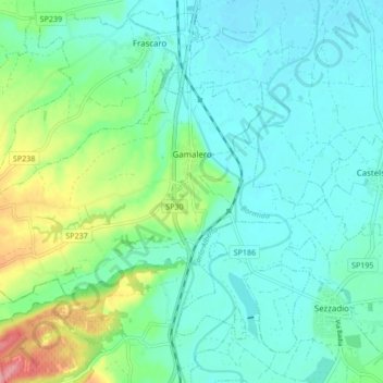
Name: Gamalero topographic map, elevation, terrain.
Location: Gamalero, Alessandria, Piemonte, Italia (44.78575 8.48607 44.82040 8.57084)
Average elevation: 127 m
Minimum elevation: 101 m
Maximum elevation: 210 m