
Noordbergum topographic map
Interactive map
Click on the map to display elevation.
About this map
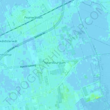
Name: Noordbergum topographic map, elevation, terrain.
Location: Noordbergum, Tietjerksteradeel, Friesland, Nederland (53.20653 5.96939 53.24125 6.03425)
Average elevation: 1 m
Minimum elevation: -4 m
Maximum elevation: 12 m