
Corr topographic map
Interactive map
Click on the map to display elevation.
About this map
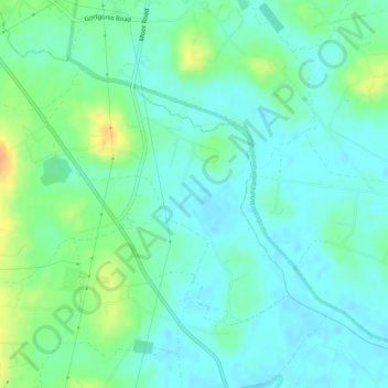
Name: Corr topographic map, elevation, terrain.
Location: Corr, Clonoe, Irlande du Nord, Royaume-Uni (54.50906 -6.68538 54.52667 -6.65584)
Average elevation: 21 m
Minimum elevation: 11 m
Maximum elevation: 42 m