
Magdalena topographic map
Interactive map
Click on the map to display elevation.
About this map
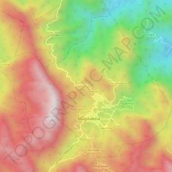
Name: Magdalena topographic map, elevation, terrain.
Location: Magdalena, Veracruz, Mexico (18.74752 -97.07522 18.78977 -97.02209)
Average elevation: 1,517 m
Minimum elevation: 818 m
Maximum elevation: 2,102 m
Other topographic maps
Click on a map to view its topography, its elevation and its terrain.