
Zone 2 topographic map
Interactive map
Click on the map to display elevation.
About this map
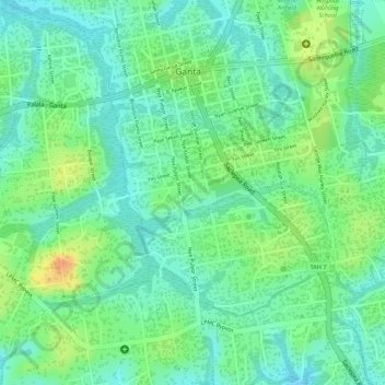
Name: Zone 2 topographic map, elevation, terrain.
Location: Zone 2, Garr-Bain, Nimba County, Liberia (7.21644 -8.99158 7.23346 -8.97675)
Average elevation: 282 m
Minimum elevation: 264 m
Maximum elevation: 310 m