
郝庄镇 topographic map
Interactive map
Click on the map to display elevation.
About this map
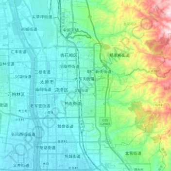
Name: 郝庄镇 topographic map, elevation, terrain.
Location: 郝庄镇, 迎泽区, 太原市, 山西省, 中国 (37.81058 112.58347 37.92190 112.77120)
Average elevation: 885 m
Minimum elevation: 774 m
Maximum elevation: 1,312 m
Other topographic maps
Click on a map to view its topography, its elevation and its terrain.