
Sant'Egidio topographic map
Interactive map
Click on the map to display elevation.
About this map
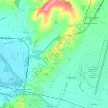
Name: Sant'Egidio topographic map, elevation, terrain.
Location: Sant'Egidio, Perugia, Umbria, Italia (43.08275 12.46951 43.12275 12.50951)
Average elevation: 213 m
Minimum elevation: 181 m
Maximum elevation: 306 m
Other topographic maps
Click on a map to view its topography, its elevation and its terrain.
Monte Tezio
Italia > Umbria > Perugia > Perugia
Monte Tezio, Perugia, Umbria, 06133, Italia
Average elevation: 687 m