
Rushikulya topographic map
Click on the map to display elevation.
About this map
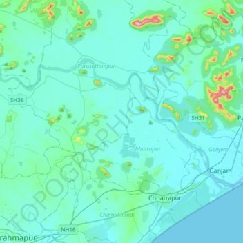
Name: Rushikulya topographic map, elevation, terrain.
Location: Rushikulya, Purusottampur, Ganjam District, Odisha, India (19.37051 84.77852 19.51777 85.07787)
Average elevation: 32 m
Minimum elevation: 0 m
Maximum elevation: 347 m
Other topographic maps
Click on a map to view its topography, its elevation and its terrain.