
Shihezi topographic map
Interactive map
Click on the map to display elevation.
About this map
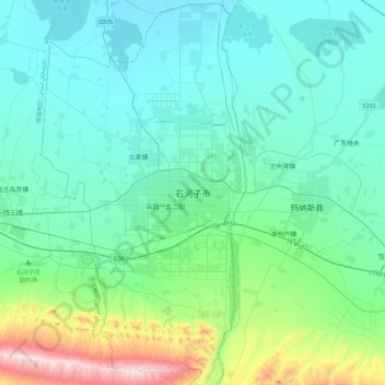
Name: Shihezi topographic map, elevation, terrain.
Location: Shihezi, 第八师, Shihezi City, Xinjiang, 832003, China (44.14170 85.91756 44.46170 86.23756)
Average elevation: 528 m
Minimum elevation: 381 m
Maximum elevation: 1,257 m