
大樹町 topographic map
Interactive map
Click on the map to display elevation.
About this map
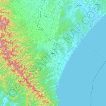
Name: 大樹町 topographic map, elevation, terrain.
Location: 大樹町, 廣尾郡, 十勝綜合振興局, 北海道, 089-2127, 日本 (42.31831 142.82512 42.67708 143.74067)
Average elevation: 232 m
Minimum elevation: -2 m
Maximum elevation: 1,811 m