
薛埠镇 topographic map
Interactive map
Click on the map to display elevation.
About this map
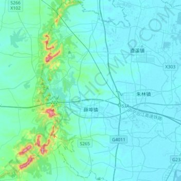
Name: 薛埠镇 topographic map, elevation, terrain.
Location: 薛埠镇, 金坛区, 常州市, 江苏省, 213200, 中国 (31.62420 119.29941 31.86266 119.45310)
Average elevation: 34 m
Minimum elevation: 1 m
Maximum elevation: 373 m
Other topographic maps
Click on a map to view its topography, its elevation and its terrain.