
Lac Cadotte topographic map
Interactive map
Click on the map to display elevation.
About this map
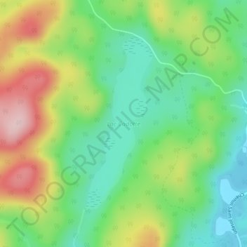
Name: Lac Cadotte topographic map, elevation, terrain.
Location: Lac Cadotte, Trois-Rives, Mékinac, Mauricie, Quebec, Canada (46.90756 -72.73994 46.92638 -72.72901)
Average elevation: 212 m
Minimum elevation: 117 m
Maximum elevation: 364 m
Other topographic maps
Click on a map to view its topography, its elevation and its terrain.
Lac Dawson
Canada > Quebec > Mékinac > Trois-Rives
Lac Dawson, Trois-Rives, Mékinac, Mauricie, Quebec, Canada
Average elevation: 338 m