
Mshrali Lake topographic map
Interactive map
Click on the map to display elevation.
About this map
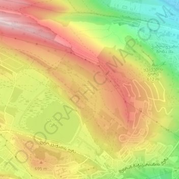
Name: Mshrali Lake topographic map, elevation, terrain.
Location: Mshrali Lake, Saburtalo District, Tbilisi, Georgia (41.74803 44.74103 41.74948 44.74279)
Average elevation: 642 m
Minimum elevation: 442 m
Maximum elevation: 804 m
Other topographic maps
Click on a map to view its topography, its elevation and its terrain.
Tbilisi Sea
Tbilisi Sea, Abasha Street, Kukia, Didube-Chugureti Raion, Tbilisi, 0101, Georgia
Average elevation: 609 m